
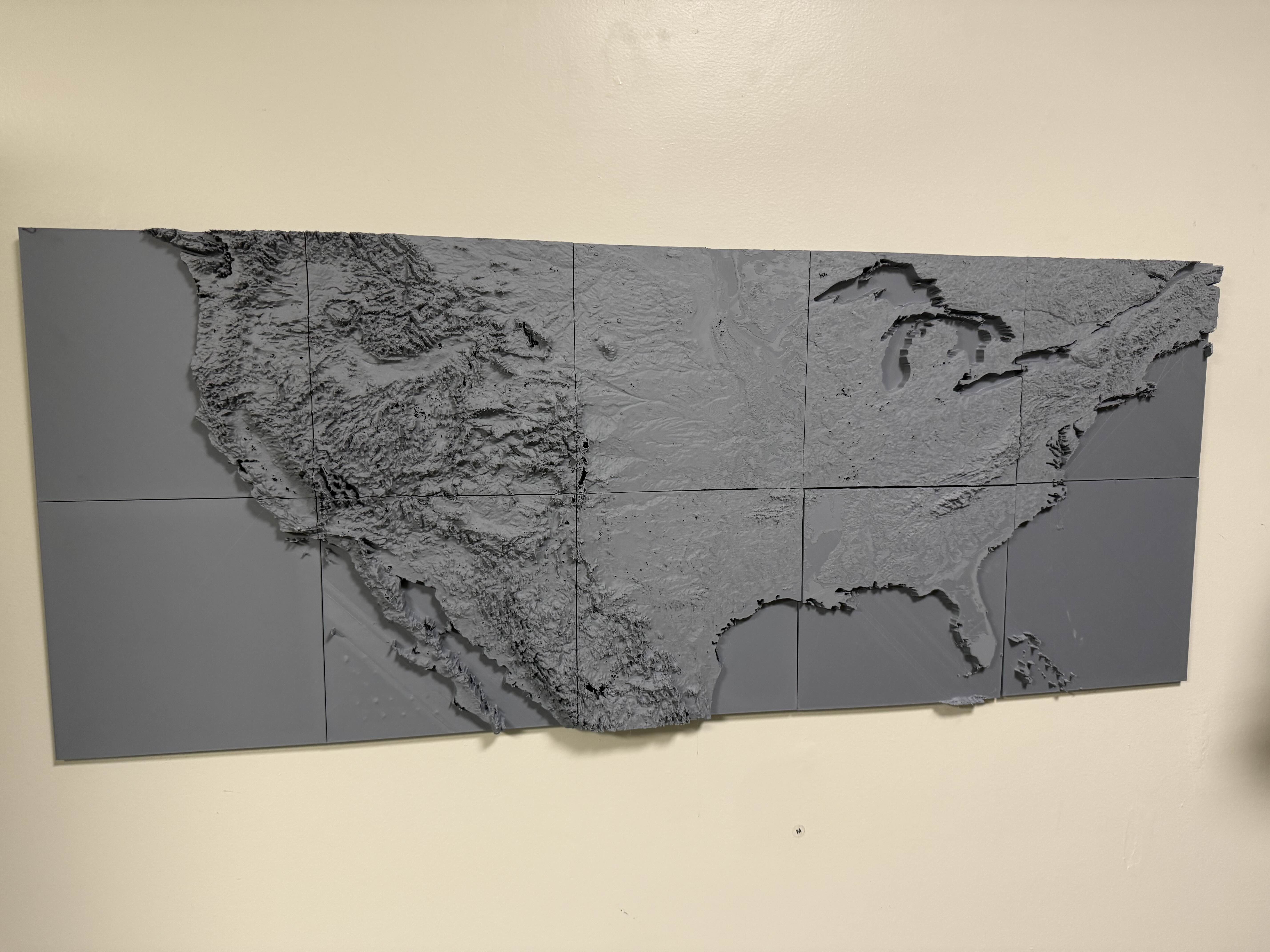

Contiguous United States Topographic Relief Map Wall Art

Download, slice and print this model in the MakerSpell app — available on Android and Windows. Get the app
Model Overview & Print Notes
Contiguous United States Topographic Map Wall Art This is a ~50"x20" wall art map of the contiguous United States, modeled from self-processed real elevation data (original sourced from Viewfinder Panoramas ). I couldn't find an already existing topo map of the United States that would look good without framing/other materials so I decided to make my own. To my knowledge, this is the only model of its kind that includes visible Canada and Mexico alongside the U.S. in one continuous relief map. The design is split into a 5×2 grid of 245×245 mm tiles, making it printable on standard beds. A vertical exaggeration is applied for clearer terrain features, and a 1 cm raised shelf was added around coastlines and the Great Lakes to emphasize water boundaries. The map has a 5 mm base thickness, with the tallest points reaching about 35 mm above the base. Printing & Assembly Printed semi-successfully with Overture Matte Grey PLA. My full build used ~2 kg of filament. Sections can be hot glued to a backing board (I used foam core) for easy wall mounting. I printed mine on an aging/untuned AnyCubic Vyper which led to some significant quality issues, but even with a rough print job the effect is still really cool and wall worthy. I had tons of different quality issues and changed settings every tile. This print is not for the faint of heart. I didn't do any post-processing except for some de-burring just because my print quality wasn't good enough to warrant it.